“The application of GIS is limited only by the imagination of those who use it”.
Jack Dangermond, ESRI
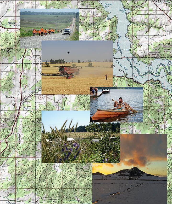
The Coeur d’Alene Tribe has had an active Geographic Information System (GIS) program since 1992. The Tribe uses GIS technology to collect, store and analyze information about the lands it has traditionally used. Information is collected for environmental, social, and cultural geographic features.
Our Mission:
To coordinate, educate, guide, and assist the implementation, maintenance, and development of GIS technology and related data resources for the Tribe, our community, and the public.
Our Vision:
All people of the Coeur d’Alene Tribe shall be able to realize the value of GIS technology and its appropriate uses to preserve and enhance the Tribe’s values, resources, cultural history, and improve quality of life.